 |
.. |
| Name |
: |
.. |
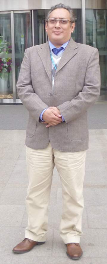
Prof. Sr. Dr. Mazlan Hashim |
| Email |
: |
.. |
mazlanhashim@utm.my |
| Office Number |
: |
.. |
+(6)07-555 7662 |
| Fax Number |
: |
.. |
+(6)07-555 7662 |
| Address |
: |
.. |
Geoscience and Digital Earth Centre (Geo-DEC) |
|
|
|
|
|
|
|
01-04-12, Block T06 |
|
|
|
Faculty of Geoinformation and Real Estate |
|
|
|
Universiti Teknologi Malaysia (UTM) |
|
|
|
81310 Johor Bahru |
|
|
|
Johor Darul Takzim, Malaysia. |
| Research Metrics |
: |
|
|
|
|
|
|
|
|
|
|
| .. |
| Prof Sr Dr Mazlan Hashim is currently the Director of the Institute of Geospatial Science & Technology (INSTeG) and a Professor at Universiti Teknologi Malaysia(UTM). He holds a PhD in Environmental Remote Sensing, MSc Eng in remote sensing, and a Bachelor of Surveying (land). He held several positions as Visiting Professor/Scientist at Tokyo Metropolitan University, Japan (2011, 2012, 2013); Univ. of Cambridge, United Kingdom (2010); National Institute for Environmental Studies, Japan (2002, 2003, 2004) and Malaysian Centre for Remote Sensing (1990-1992). A professional member of: IEEE (Geoscience and Remote Sensing), Royal Institution of Surveyors Malaysia and International Association of Hydrology Scientists. Dr Mazlan Hashim is also the exco of Malaysia Institution on Geospatial and Remote Sensing. Currently, he serves as Editorial Board for: International Journal of Digital Earth; International Journal of Geoinformatics; and International Journal of Image and Data Fusion. He has published over 200 scientific articles in refereed journals, international conference proceedings, and book chapters. As for May 2013, a total 95 articles are indexed in SCOPUS, Web-of-Science, and ranked second in the world by SciVal Spotlight in Dinstinctive Competency (DE) area of: remote sensing, algorithms, spill, surfaces. Prof Hashim also has achieved various awards at both national and international levels for his outstanding R&D&I in the field of remote sensing and related geospatial sciences and its applications.Currently, he is the Principle Investigator (PI) for research projects on: Satellite-based water yield mapping (2012-2014); Retrieval of GHG from satellite remote sensing data (2013-2014); Seagrass biomass mapping using satellite remote sensing technique (2013-2015); Integration of SAR and Optical satellite data for development of mineral indices in heavy vegetated tropical rainforest areas (2012-2013); and Change detection of Antarctica vegetation / biomass cover using multi-temporal SAR image (2012-2013). |
|