Welcome to the INSTeG!
INSTeG is formed to provide support for diverse spectrum of surveying and mapping research and development activities at the Office of Deputy Vice-Chancellor for Research and Innovation also Faculty of Build Environment and Surveying (FABU), Universiti Teknologi Malaysia. INSTeG seeks win-win collaboration between all institutions of higher learning, related research institutions as well as the industries as well as industries in realization of research, knowledge advancement, professional practice, and technology transfer in the field of Geomatics and related technology.
We have a group of qualified academic staffs and fellows in multi-disciplinary geomatic fields and its applications, who are capable in teaching and learning activities, conducting research; and consultancy activities related to Precise Surveying & Geodetic Metrology; Remote Sensing / Geo-sensing; Geoinformatics; and Land information system.
We are currently using several laboratories within the Faculty for geospatial related research and works, all of which are equipped with up to date equipment. Computing facilities are available for satellite digital image processing, geoinformatics and precise/geodetic surveying for various applications in natural resources and environmental management. In addition, we have good selection of field equipment for in-situ data acquisition and verifications. We welcome joint studies / activities within our area of expertise with any national and international agencies and private firm.
Please feel free to visit us anytime to share your view and ideas on researches and also on the improvement of INSTeG. Wish you all the best.
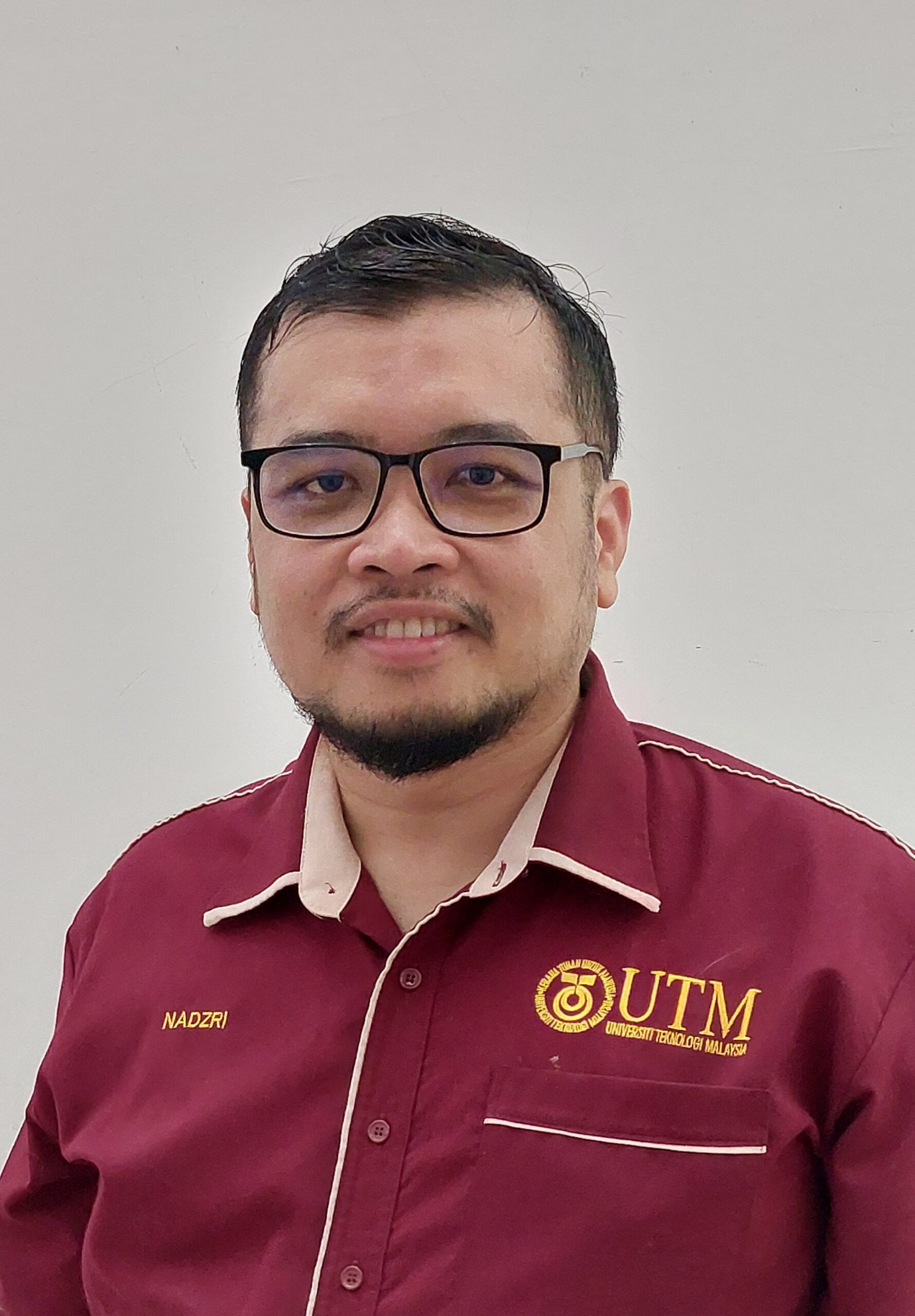
Prof Madya Ts. Gs. Dr. Mohd Nadzri Md. Reba
Director,
Geoscience and Digital Earth Centre (INSTeG)
Office of Deputy Vice Chancellor of Research and Innovation
Universiti Teknologi Malaysia