
Noordyana Hassan, PhD
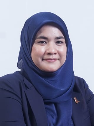
- Senior Lecturer
- Fellow of INSTeG
- Fellow of Institute of Geospatial and Remote Sensing Malaysia (IGRSM)
- Research interest: Remote Sensing for Environment; Machine Learning; Remote Sensing for Environment, Remote Sensing for Biodiversity; Tropical Plant Ecology; Wildlife Tourism and Conservation
- people.utm.my/noordyana
Area of expertise
Dr Noordyana research interests in the rigorous development and innovation of diverse satellite remote sensing and geospatial applications for natural resources and environmental management. Specifically, his research focuses on:
- Machine learning-based satellite data processing for plant ecology and human-wildlife conflicts
- Atmospheric and GHG emission mapping
- Tropical ecology and biodiversity
Publications
Hassan, N., Muhid, N., Tarmidi, M.Z., Azmy, S.N., Muslim, H. F. M. and Azmy, M.M. (2024). Towards Coexistence with Elephant: Implications for Managing Sustainable City using Geospatial Technology. Advances in Geoinformatics Technologies: Facilities and Utilities Optimization and Management for Smart City Applications Springer Nature Switzerland. DOI: 10.1007/978-3-031-50848-6_2
Hassan, N., Nahar, N.S. and Numata, S. (2022). Human-Elephant Conflict Mapping in Malaysia Southern Region. Water, Climate and Earth Observation. Penerbit UTM Press. DOI:
Muhid, A. and Hassan, N. (2021). Human-Elephant Conflict Triggering Factors Identification using Fuzzy Logic Modelling. 42nd Asian Conference on Remote Sensing, ACRS 2021. DOI:
Hassan, N., Hashim, M, Numata, S., Tarmidi, M.Z. (2020). Upscaling Remote Estimation on Relative Abundance of Chengal Trees in Tropical Rainforest using Modified Canopy Fractional Cover (mCFC) Approach. IOP Conference Series: Earth and Environmental Science 540(1),012007. DOI: 10.1088/1755-1315/540/1/012007
Hassan, N., Hashim, M, Numata, S., Tarmidi, M.Z (2020). Estimation of chengal trees relative abundance using coarse spatial resolution hyperspectral systems. Hyperspectral Remote Sensing: Theory and Applications. Earth Obeservation. Elsavier. DOI: 10.1016/B978-0-08-102894-0.00006-1

